Transparent, Real-Time Road Incident Alerts with AI-Powered Insights
Stay informed. Stay safe. Free for everyone.
OpenRoadAlerts.org is a public, AI-powered platform that delivers real-time road incident alerts through fully automated detection, analysis, and reporting. Free to access, no registration required — open to everyone, including the public, media, and government agencies.
Our mission is to increase transparency, improve emergency response, and help save lives.
Get Regional Alerts via WhatsApp
Get real-time road incident updates for your area — instantly and directly
Stay informed with real-time crash alerts shared by OpenRoadAlerts. Choose your region below and join the WhatsApp group to receive verified updates — no ads, no noise
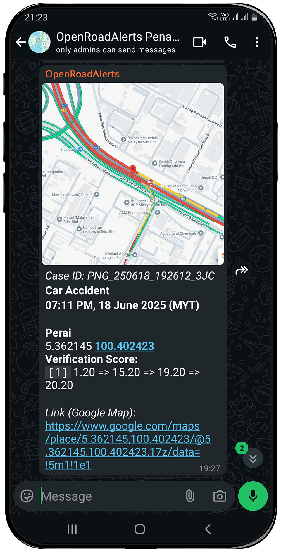
All alerts are automatically detected from live maps, analyzed, and delivered — with no human involvement or manual editing. What you see is raw, unbiased, and real-time.

Penang
(Including Butterworth)
Scanned Coverage Area
Penang Island: George Town (capital city), Ayer Itam, Balik Pulau, Batu Ferringhi, Batu Maung, Bayan Lepas, Gelugor, Jelutong, Pulau Tikus, Sungai Ara, Tanjong Bungah, Tanjong Tokong, Teluk Bahang
Seberang Perai (Mainland): Butterworth, Bukit Mertajam, Perai, Nibong Tebal, Kepala Batas, Sungai Jawi, Permatang Kuching, Juru, Bagan Ajam, Bagan Dalam, Bukit Minyak, Bukit Tengah, Bandar Cassia

Putrajaya & Cyberjaya
(Including Surrounding Areas)
Scanned Coverage Area
Putrajaya: Precinct 1-20, Putra Mosque, Perdana Putra, PICC, Taman Wetland, Taman Botani, Taman Cabaran, IOI City Mall, Alamanda, Serdang Hospital, Persiaran Selatan, Persiaran Timur, Lebuh Wadi Ehsan
Cyberjaya: Cyberjaya Lake Gardens, Tamarind Square, D'Pulze Mall, Shaftsbury Square, MMU, Limkokwing University, University of Cyberjaya, Sejati Lakeside, Symphony Hills, Garden Residence, Cyberia Smart Homes, Cyberjaya Mosque, MCMC, Cyberview

North South Expressway E1
(And Surrounding Cities)
Scanned Coverage Area
Expressway: The entire E1 North-South Expressway (Lebuhraya Utara-Selatan Jajaran Utara), covering approximately 460 km in total — from Bukit Kayu Hitam (at the Kedah-Thailand border) to Rawang Toll Plaza (Kuala Lumpur)
Surrounding Cities, Towns & Areas: Perlis, Langkawi, Alor Setar, Gurun, Sungai Petani, Taiping, Ipoh, Tapah, Slim River, Tanjung Malim, Rawang

East Coast Expressway E8
(And Surrounding Cities)
Scanned Coverage Area
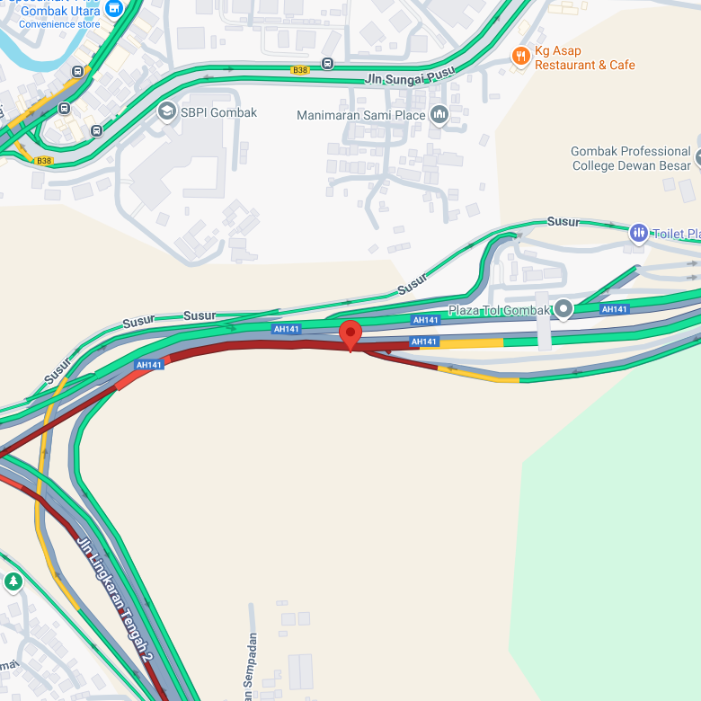
Expressway: The entire E8 East Coast Expressway (Lebuhraya Pantai Timur), covering approximately 433 km in total — from Gombak (via Kuala Lumpur-Karak Expressway) through Karak, Pahang, to Kuala Nerus near Kuala Terengganu
Surrounding Cities, Towns & Areas: Gombak, Bentong, Karak, Lanchang, Mentakab, Temerloh, Chenor, Maran, Gambang, Kuantan, Jabur, Chukai, Kijal, Kerteh, Paka, Dungun, Bukit Besi, Ajil, Kuala Nerus / Kuala Terengganu

Kuala Lumpur
(And Surrounding Cities)
Scanned Coverage Area
Kuala Lumpur: Bukit Bintang, Chow Kit, Sentul, Titiwangsa, Wangsa Maju, Setapak, Batu, Kepong, Segambut, Mont Kiara, Sri Hartamas, Bukit Damansara, Bangsar, Brickfields, KL Sentral, Mid Valley, Seputeh, Taman Desa, Cheras, Salak South, Sungai Besi, Taman Connaught, Sri Petaling, Bukit Jalil, Kuchai Lama, OUG (Overseas Union Garden), Jalan Ipoh, Jalan Kuching, Kampung Baru, Ampang Hilir, KLCC
Petaling Jaya: Seksyen 1-22 (Old Town), Seksyen 51A, Seksyen 13, Taman Jaya, Taman SEA, Taman Paramount, SS1-SS26 (e.g., SS2, SS3, SS15), Kelana Jaya, Ara Damansara, Bandar Sunway, Sunway Mentari, Tropicana, Damansara Jaya, Damansara Utama (Uptown), Damansara Perdana, Mutiara Damansara, Kota Damansara, Bandar Utama, Taman Megah, Taman Mayang, Taman Bahagia, Taman Medan, Seri Setia
If you have any suggestions, found a bug, wish to request coverage for your area, or simply have questions — feel free to reach out through our dedicated WhatsApp group. We also welcome support to help keep this project running.
If WhatsApp is not installed or the button doesn't work, use this link
Disclaimer
OpenRoadAlerts.org provides real-time road incident notifications for public awareness and safety purposes. All data is collected and processed automatically. While we strive for accuracy, we do not guarantee 100% precision or completeness. We are not affiliated with any government agency. For emergency assistance, please contact your local authorities.
Road Crashes: A Global Crisis
Globally, road crashes kill an estimated 1.19 million people and cause millions of serious injuries and lifelong disabilities each year. They are the leading cause of death for children and young adults aged 5-29, and rank among the top causes of death across all age groups — surpassing diseases like HIV/AIDS, tuberculosis, and malaria.
Beyond the human toll, road traffic injuries impose heavy social and economic costs, especially in low- and middle-income countries. Crashes result in lost productivity, property damage, legal and healthcare expenses, and are estimated to cost these economies 2-6% of GDP annually.
Yet despite these staggering numbers, timely, transparent information is still lacking, leaving the public uninformed and slowing emergency response when every second counts.
Source: Global Road Safety Facility.jpg) Source: IHME GBD (2021)
Source: IHME GBD (2021)AI-Powered Alerts, Open to All, From Cities to Citizens
OpenRoadAlerts.org is a nonprofit public platform that provides real-time, AI-generated road incident alerts — freely accessible to everyone, including the public, media, and government agencies.
Our mission is to:
- Increase transparency in road safety
- Enable faster response by authorities
- Keep communities informed and empowered
All alerts are automatically detected, analyzed, and published in real time, with no human involvement, no bias, and no delay. We believe open access to timely information can help save lives.
 Image source: Daily Express
Global Coverage
OpenRoadAlerts supports international deployment and adapts to regional differences in traffic behavior and data landscapes. In areas with strong digital infrastructure, it offers near real-time situational awareness. We continue to enhance coverage and precision through adaptive algorithms and localized optimizations.


Built to Scale
OpenRoadAlerts designed for high-volume environments, it scales effortlessly from local city deployments to nationwide coverage, without sacrificing speed or accuracy.
Real-Time Incident Detection
OpenRoadAlerts leverages continuous data streams and spatial AI to detect road incidents the moment they occur — enabling immediate alerts, faster response coordination, and life-saving interventions.
Emergency Intelligence
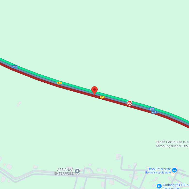
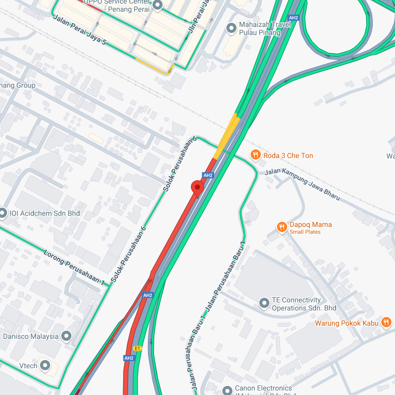
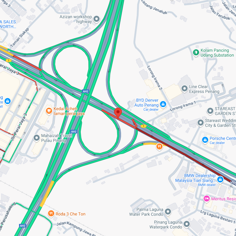
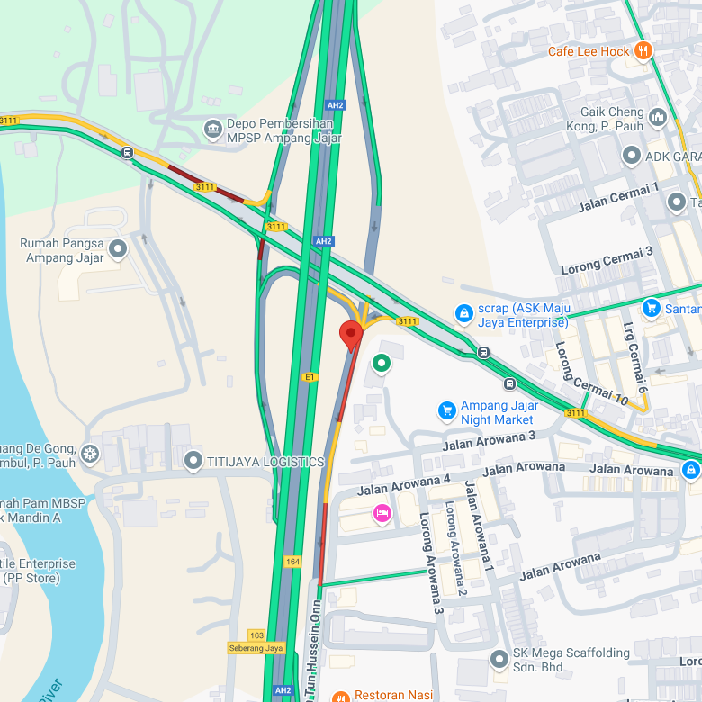
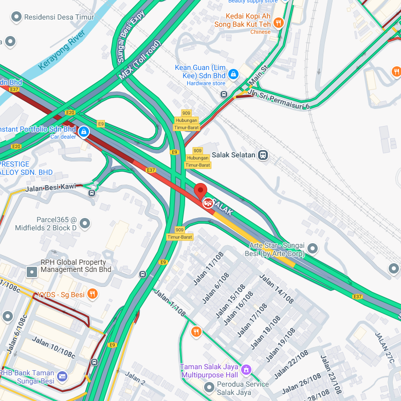
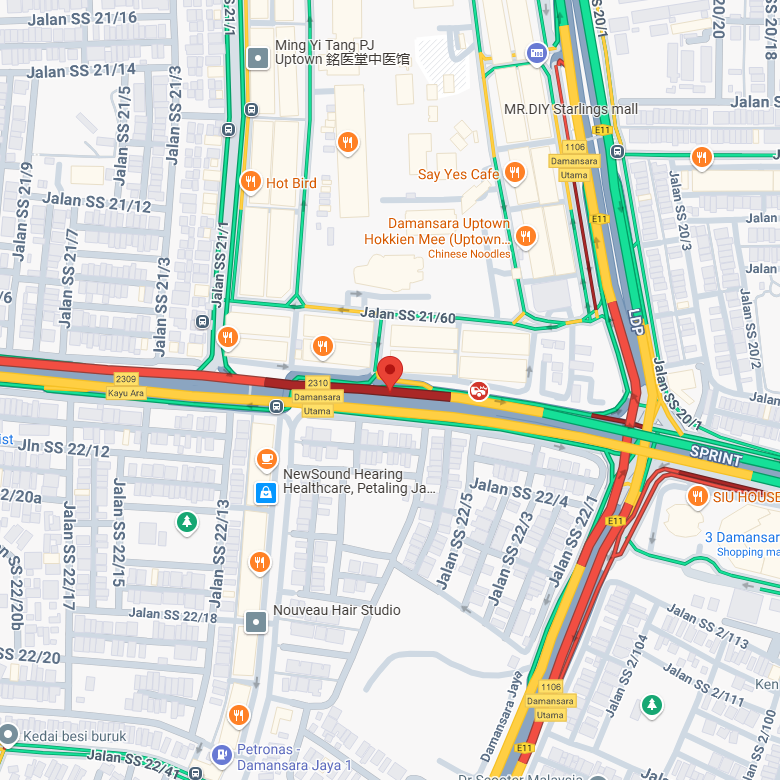
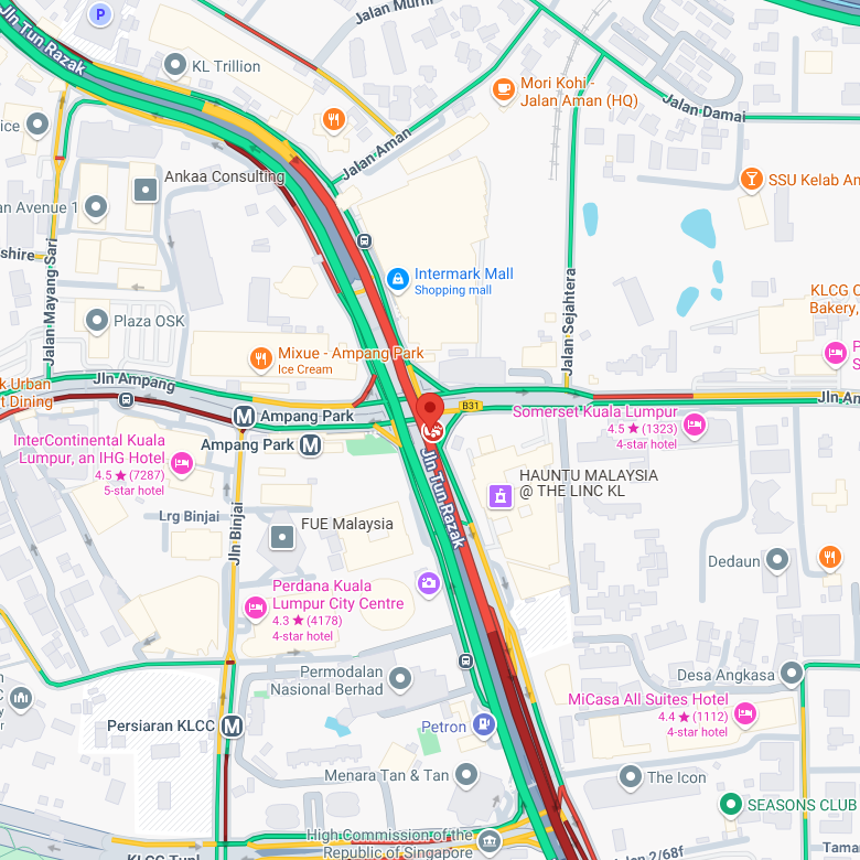
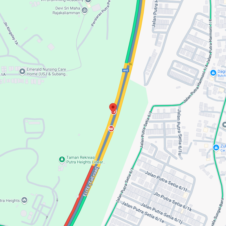
OpenRoadAlerts equips responders with real-time intelligence, delivering critical context such as precise location, live screenshots, timestamps, and severity levels. This actionable data streamlines response workflows, reduces reaction times, and empowers teams to make faster, smarter decisions when every second counts.
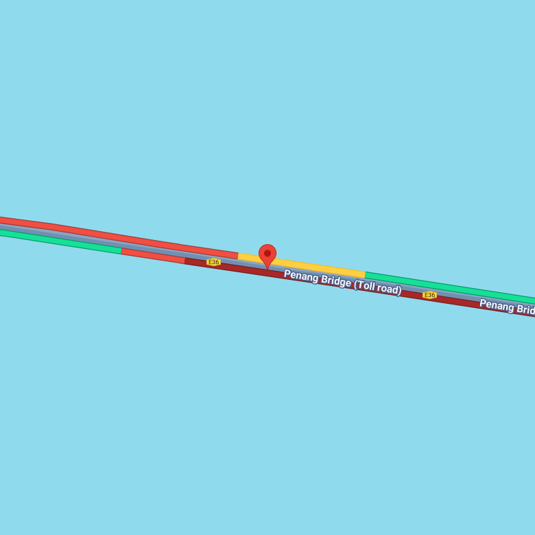
Reported: 11:19 AM, 23/01/25
5.47844997, 100.26414871
Reported: 9:49 AM, 23/01/25
5.18895813, 100.49400329
Reported: 11.07 AM, 23/01/25
5.22951653, 100.48473358
Reported: 12:14 PM, 23/01/25
5.12706844, 100.54501400
Reported: 11:19 AM, 23/01/25
5.47844997, 100.26414871
Reported: 9:49 AM, 23/01/25
5.18895813, 100.49400329
Reported: 11.07 AM, 23/01/25
5.22951653, 100.48473358
Reported: 12:14 PM, 23/01/25
5.12706844, 100.54501400
Reported: 11:19 AM, 23/01/25
5.47844997, 100.26414871
Reported: 9:49 AM, 23/01/25
5.18895813, 100.49400329
Reported: 11.07 AM, 23/01/25
5.22951653, 100.48473358
Reported: 12:14 PM, 23/01/25
5.12706844, 100.54501400
Reported: 11:19 AM, 23/01/25
5.47844997, 100.26414871
Reported: 9:49 AM, 23/01/25
5.18895813, 100.49400329
Reported: 11.07 AM, 23/01/25
5.22951653, 100.48473358
Reported: 12:14 PM, 23/01/25
5.12706844, 100.54501400
Reported: 1:07 PM, 23/01/25
5.37147145, 100.40044784
Reported: 10:56 AM, 24/01/25
5.37574411, 100.40405273
Reported: 12:26 PM, 24/01/25
5.41167606, 100.40808677
Reported: 1:28 PM, 24/01/25
5.35677324, 100.32852172
Reported: 1:07 PM, 23/01/25
5.37147145, 100.40044784
Reported: 10:56 AM, 24/01/25
5.37574411, 100.40405273
Reported: 12:26 PM, 24/01/25
5.41167606, 100.40808677
Reported: 1:28 PM, 24/01/25
5.35677324, 100.32852172
Reported: 1:07 PM, 23/01/25
5.37147145, 100.40044784
Reported: 10:56 AM, 24/01/25
5.37574411, 100.40405273
Reported: 12:26 PM, 24/01/25
5.41167606, 100.40808677
Reported: 1:28 PM, 24/01/25
5.35677324, 100.32852172
Reported: 1:07 PM, 23/01/25
5.37147145, 100.40044784
Reported: 10:56 AM, 24/01/25
5.37574411, 100.40405273
Reported: 12:26 PM, 24/01/25
5.41167606, 100.40808677
Reported: 1:28 PM, 24/01/25
5.35677324, 100.32852172
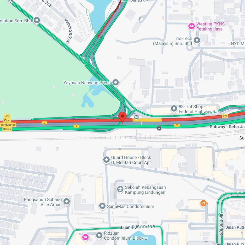
Reported: 11:39 AM, 23/01/25
3.08331566, 101.60692691
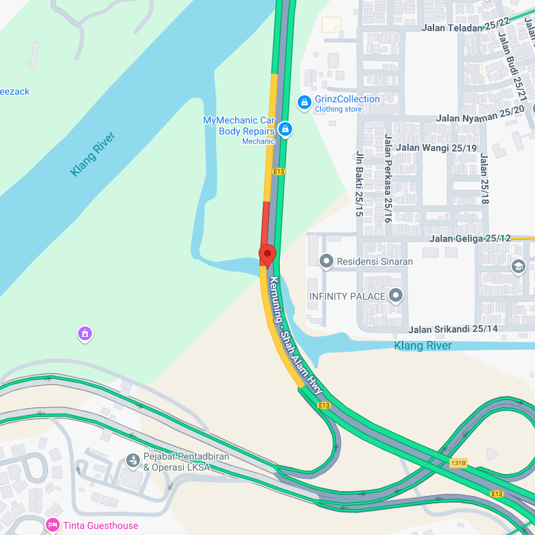
Reported: 11:36 AM, 23/01/25
3.03064780, 101.52482986
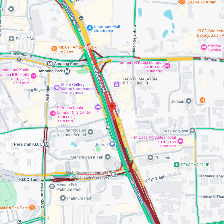
Reported: 12:28 PM, 23/01/25
3.15830607, 101.72078132
Reported: 12:26 PM, 23/01/25
3.09741427, 101.70374393
Reported: 11:39 AM, 23/01/25
3.08331566, 101.60692691
Reported: 11:36 AM, 23/01/25
3.03064780, 101.52482986
Reported: 12:28 PM, 23/01/25
3.15830607, 101.72078132
Reported: 12:26 PM, 23/01/25
3.09741427, 101.70374393
Reported: 11:39 AM, 23/01/25
3.08331566, 101.60692691
Reported: 11:36 AM, 23/01/25
3.03064780, 101.52482986
Reported: 12:28 PM, 23/01/25
3.15830607, 101.72078132
Reported: 12:26 PM, 23/01/25
3.09741427, 101.70374393
Reported: 11:39 AM, 23/01/25
3.08331566, 101.60692691
Reported: 11:36 AM, 23/01/25
3.03064780, 101.52482986
Reported: 12:28 PM, 23/01/25
3.15830607, 101.72078132
Reported: 12:26 PM, 23/01/25
3.09741427, 101.70374393
Reported: 12:31 PM, 23/01/25
3.13225287, 101.62250518
Reported: 12:33 PM, 23/01/25
3.15997722, 101.72026634
Reported: 1:01 PM, 23/01/25
3.00094868, 101.57954692
Reported: 1:40 PM, 23/01/25
3.24168904, 101.72485828
Reported: 12:31 PM, 23/01/25
3.13225287, 101.62250518
Reported: 12:33 PM, 23/01/25
3.15997722, 101.72026634
Reported: 1:01 PM, 23/01/25
3.00094868, 101.57954692
Reported: 1:40 PM, 23/01/25
3.24168904, 101.72485828
Reported: 12:31 PM, 23/01/25
3.13225287, 101.62250518
Reported: 12:33 PM, 23/01/25
3.15997722, 101.72026634
Reported: 1:01 PM, 23/01/25
3.00094868, 101.57954692
Reported: 1:40 PM, 23/01/25
3.24168904, 101.72485828
Reported: 12:31 PM, 23/01/25
3.13225287, 101.62250518
Reported: 12:33 PM, 23/01/25
3.15997722, 101.72026634
Reported: 1:01 PM, 23/01/25
3.00094868, 101.57954692
Reported: 1:40 PM, 23/01/25
3.24168904, 101.72485828